LATEST HIKING ADVENTURES

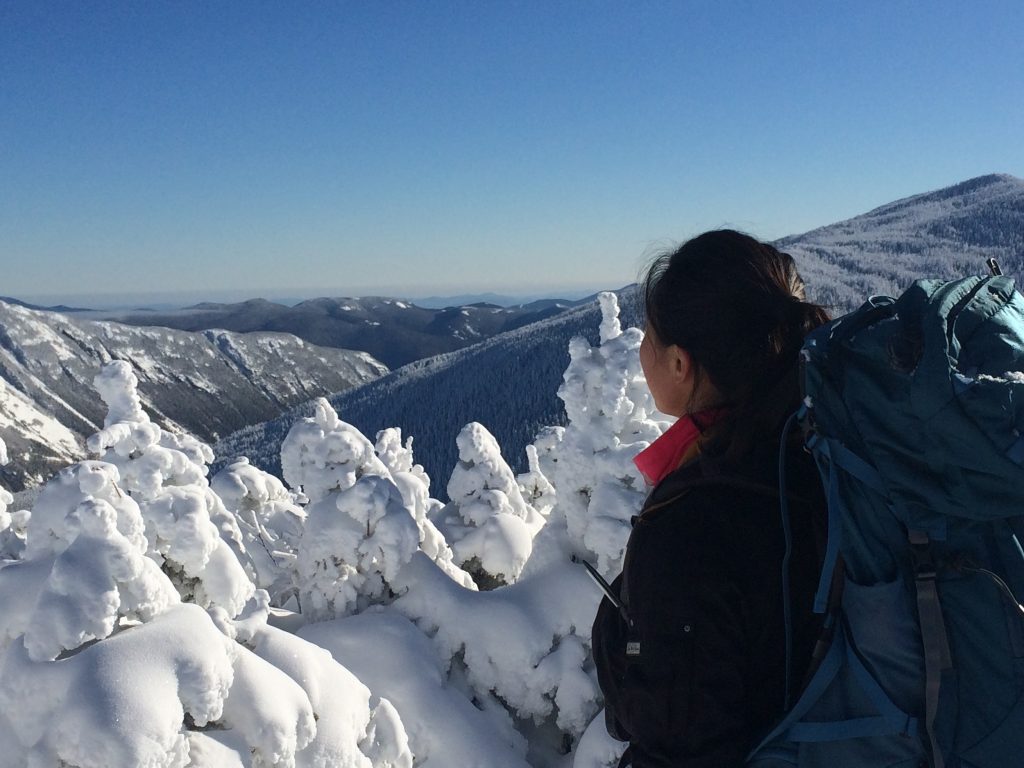
Trail Distance: 4.4 miles (book), 6.7 miles (MapMyHike)
Elevation Gain: 1,800 ft (book), 1,663 ft (MapMyHike)
Terrain Rating: Intermediate
Time In: 9:31AM
Time Out: 1PM
Conditions: Very icy, drifted snow

Trailhead: The trailhead is at the end of the Welch-Dickey Parking Lot. From 93-N, take Exit 28 and head towards Waterville Valley on Route 49 East. Take a left onto Upper Mad River Road and then a right onto Orris Road. Parking fee is $3.

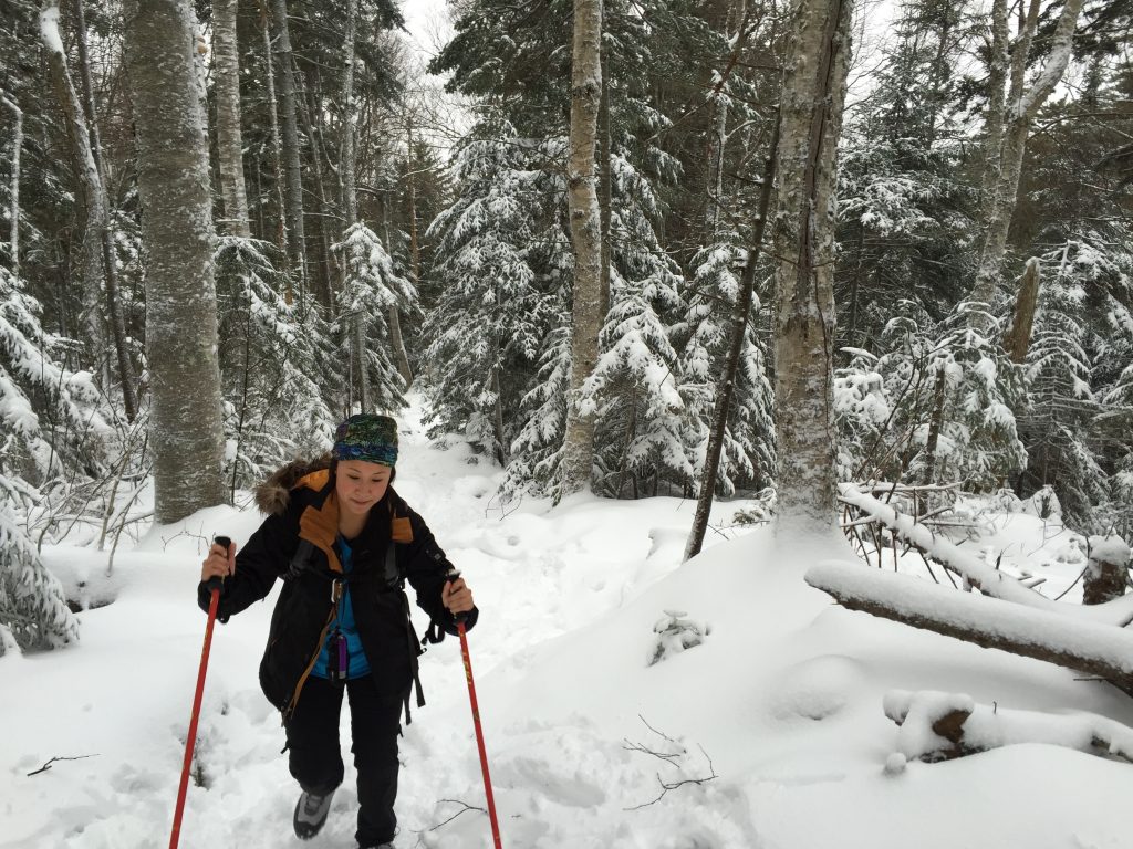
Trail Distance: 5.8 miles
Elevation Gain: 2400'
Terrain Rating: Easy
Hike In: 9:15AM
Hike Out: 2:23PM
Snow Conditions: Packed powder, dry snow
Winter Gear: Microspikes recommended; barebooting ok

Trailhead: Behind the train tracks at the AMC Highland Center off Route 302. Look through the trees for a trail sign. You can park at the AMC Highland Center and then walk to the train tracks.

Trail Distance: 6.4 miles
Elevation Gain: 2350'
Terrain Rating: Average
Hike In: 9:34AM
Hike Out: 2:43PM
Snow Conditions: Packed powder, light rain/snow
Winter Gear: Some with snowshoes, others with just boots.

Mount Pierce is a great winter hiking option for beginner winter hikers. The trail is very straight forward and the terrain is usually easy/average because of frequent use. The hike is a gradual 3.2 miles up and it reaches a not so obvious summit at Mt Pierce. From there, you can either continue onto Eisenhower, Washington, or turn back around.

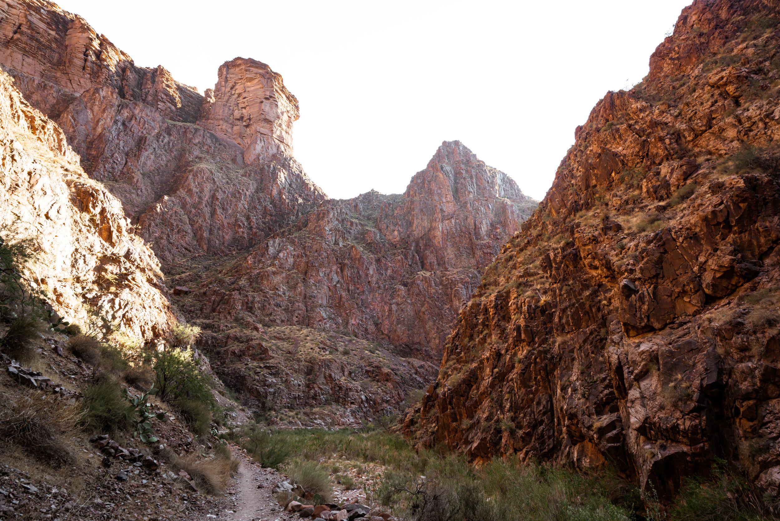
Trip length: 2 days
Trip distance: 24.6 miles
Terrain Rating: Easy/Medium
Day 1 Hike In: 8:36AM
Day 1 Hike Out: 3:15PM
Day 2 Hike In: 8:51AM
Day 2 Hike Out: 2:30PM

The loop trip begins at Smokemont Campground, a popular campground through the Blue Ridge Highway. The trail entrance is by the F campsites. For the first 1.5 mi, you will follow a wide horse trail (watch out for the poop!).

Social media & sharing icons powered by UltimatelySocial