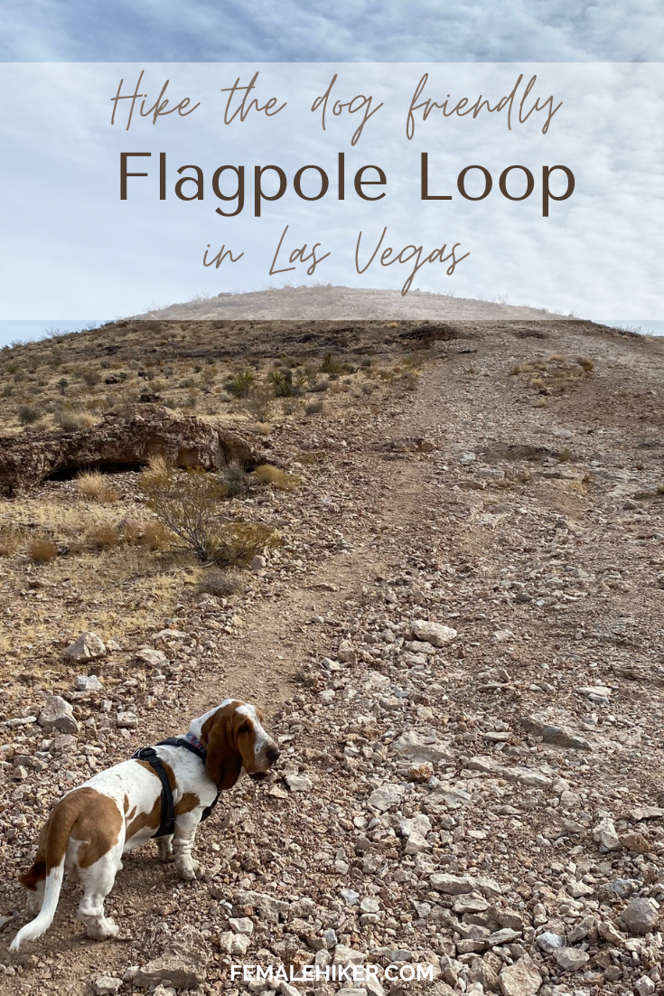
Flagpole Loop in southwest Las Vegas is a 4.8 mile, dog friendly hike that also doubles as a mountain biking trail
FLAGPOLE LOOP – Hiking Guide
Trail Distance: 4.8 miles
Elevation Gain: 600 ft.
Terrain Rating: Easy – loose rock
Hike Time: 1.5-2 hours
Dog Friendly: Yes
Recommended Seasons: All but Summer can be hot so start early
Trailhead: Southwest edge of Vegas, just south of Tropicana Ave and near some new construction here, about 20 minutes from the strip
WHY HIKE FLAGPOLE LOOP
Flagpole Loop is a pretty popular trail for locals in Las Vegas but usually because of mountain biking and not hiking! I discovered this hike when I noticed a dirt lot on the edge of Southwest Vegas. It seemed to be a fairly popular mountain biking trail, especially on the weekends.
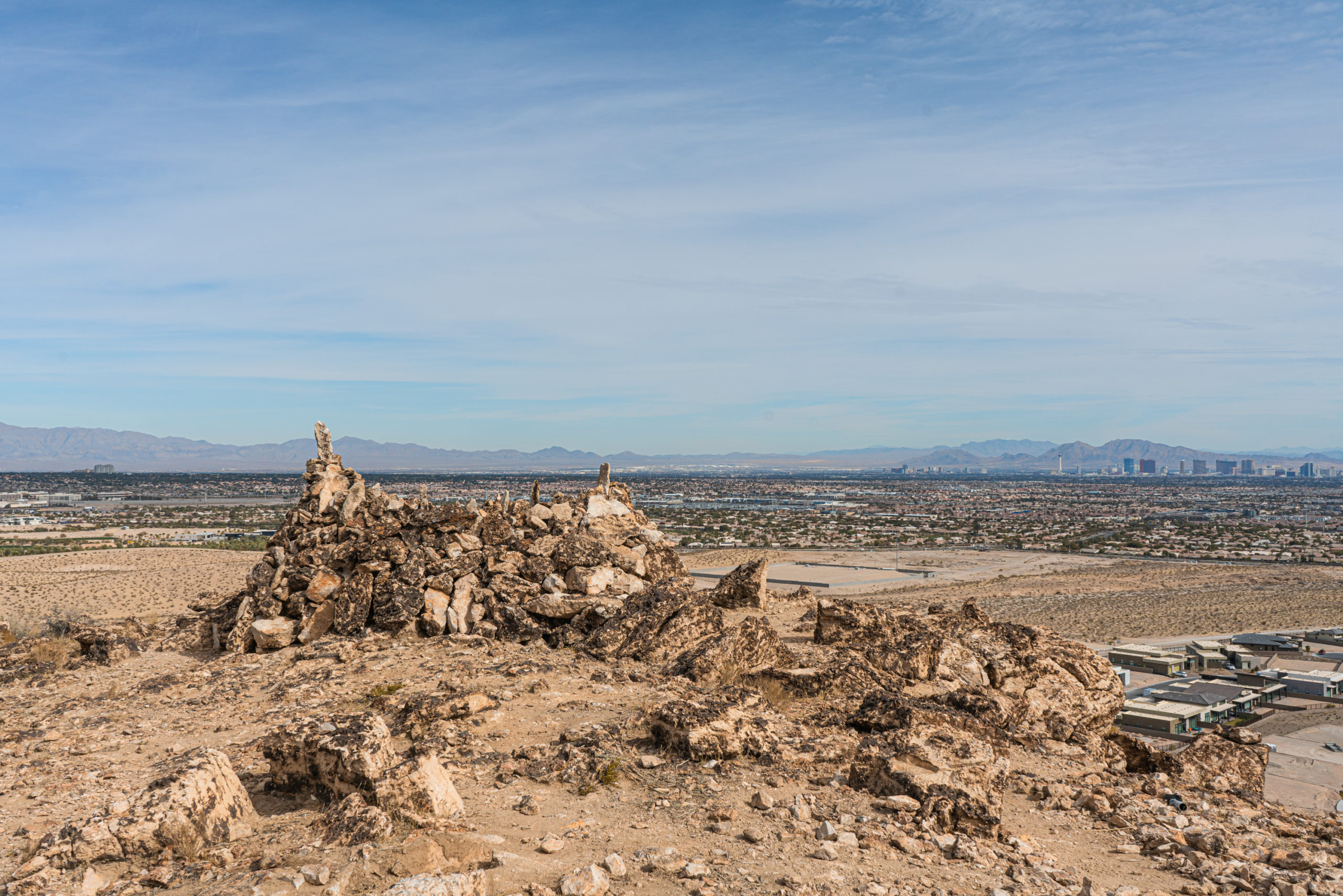
I found however that you can also hike this trail up to Flagpole Loop. This trail is great because it’s a dog friendly, no-fee hike with 360 views of the Strip and Red Rocks. It’s a little longer than one of my other favorites the James Brown Trail so it’s great if you’re looking for something that will take around 2 hours.
I also like that the trail starts off on a dedicated, fenced paved road because it makes the hike feel a little more cut off from the oncoming traffic.
WHEN TO HIKE FLAGPOLE LOOP
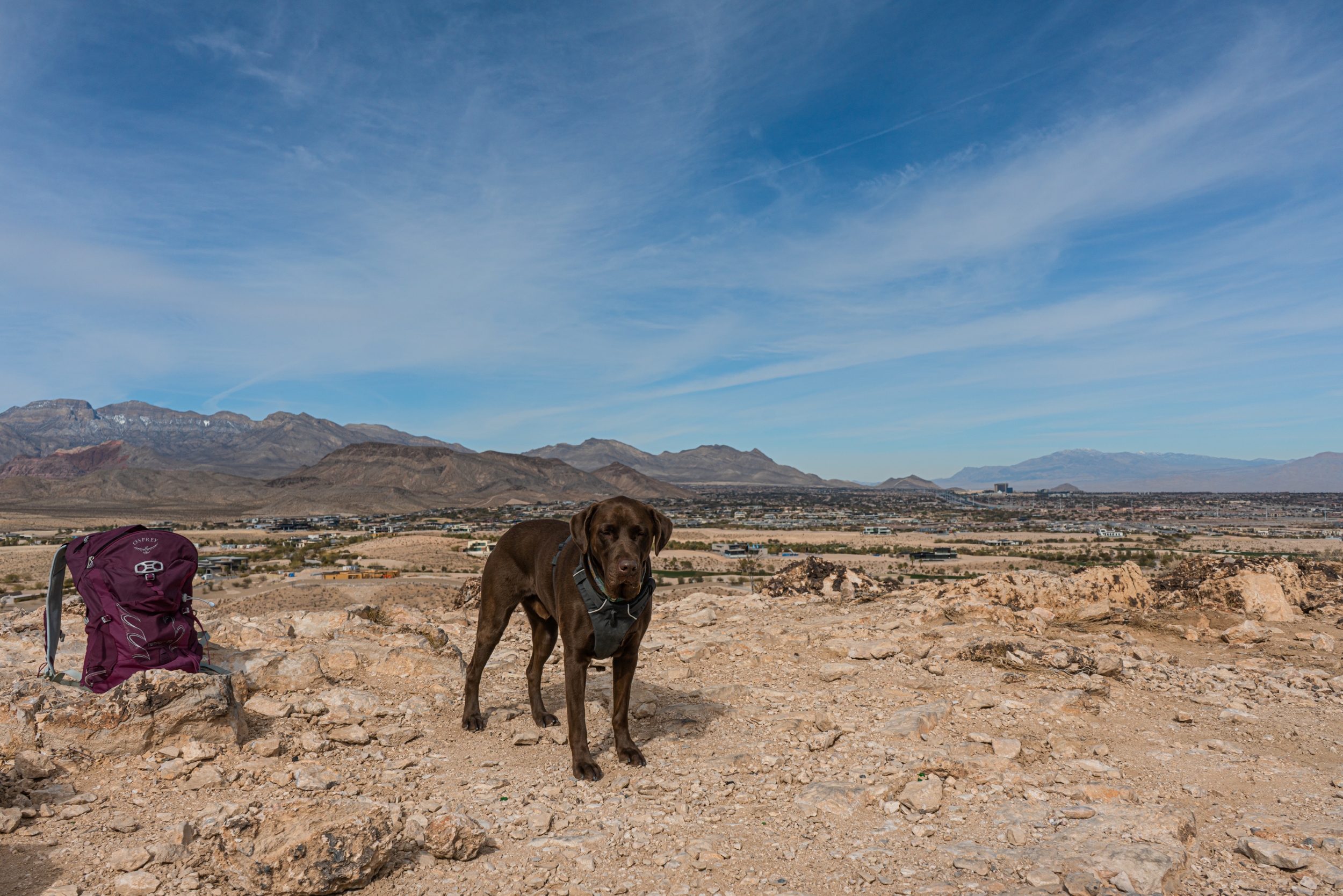
Like most hikes in the area, Flagpole Loop in Las Vegas can be hiked year round! But as with desert conditions, there is no shade. If you want to hike in the summer, be sure to start early or time your hike to be right before sunset. The heat can get pretty unbearable for yourself and the dog in the middle of a hot summer day.
To me Flagpole Loop is a perfect hike in winter, when the temps are closer to 50 degrees but the sun is usually still out.
FLAGPOLE LOOP – TRAIL NOTES
Flagpole Loop starts off on a dirt parking lot. It’s a little confusing because they are currently construction signs but if you see a paved path with a fence on both sides, you’re in the right spot. You might also see some mountain bikers there, especially if you hike on the weekends. The lot is adjacent to the road so you don’t need to drive down the dirt road very far.
Start off on the paved path for 0.8 miles. This path is fairly narrow and there are sometimes bikers passing by, but it’s a fairly short section of the Flagpole Loop.
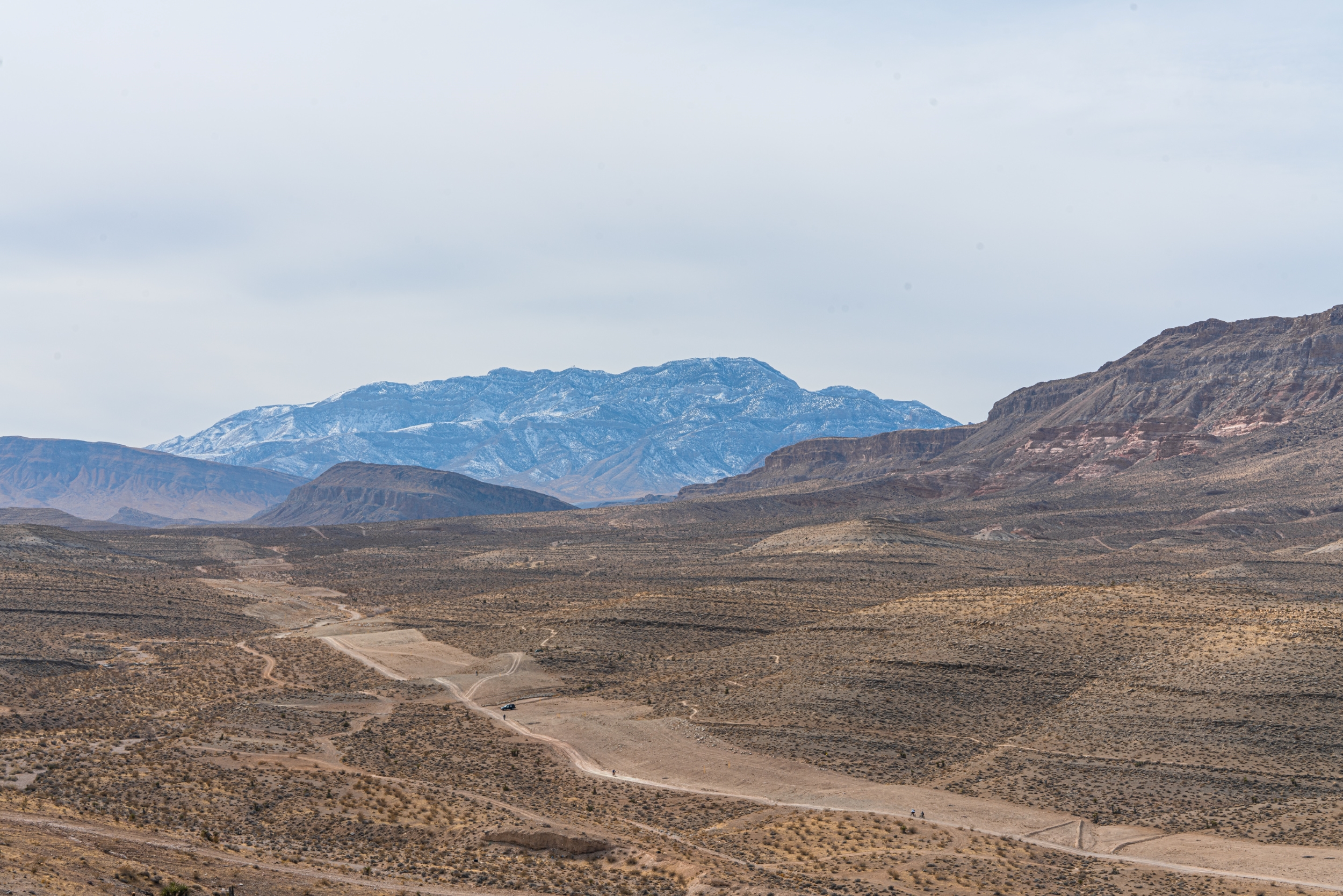
Once you are past the paved path, walk a little bit further to the dirt trail and then hook a left. You’ll see a hill in front of you – this is where you are hiking to!
Another 0.7 miles in (1.4 total now), you’ll be halfway through your climb. If you look to the right, you will be able to see an abandoned vehicle. It’s listed on the maps as “Old Rusted Vehicle” – an accurate description 🙂
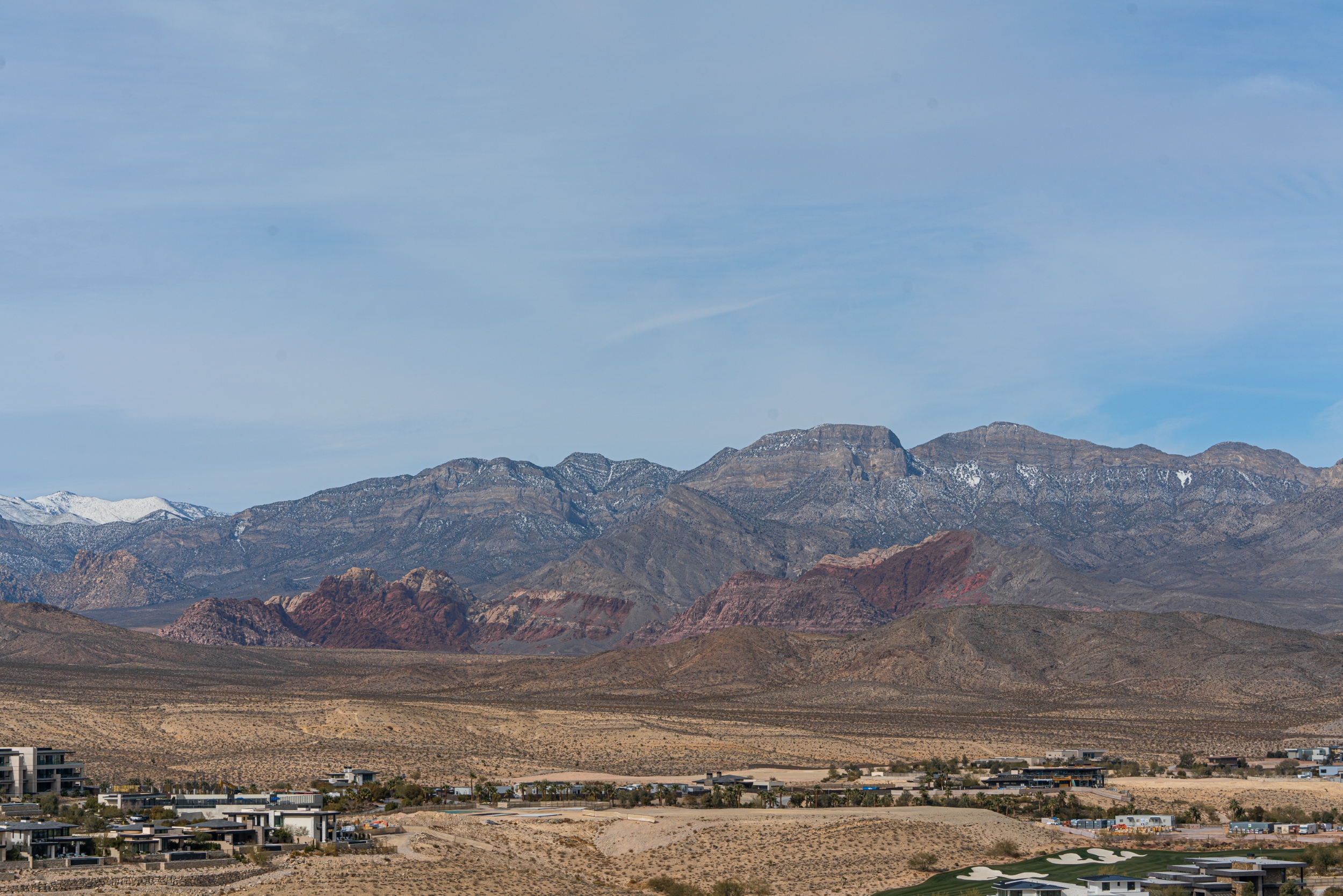
Once you reach the intersection where you can turn right or left, I suggest turning left. This takes you to a nice view of the Strip and if you turn around, Red Rocks! Also look below and you can see some more trails (I’m assuming they are mountain biking trails.
Now that you are at the top of the hill, enjoy the loop around and take in the views, before making a full loop back. To return, you’ll want to head back down, past the Old Rusted Vehicle, back to the paved bike path, and back to your car.
Recommended Gear
See below for some of my recommended gear for this hike. I also recommend you bring a good amount of water. In the summer, plan to bring 2L of water. Otherwise 1L of water is sufficient.
Have you hiked Flagpole Loop before? What did you think?
My site may contain affiliate marketing links (including the Amazon Services LLC Associates Program), which means I may be paid commission on sales of those products. These are products I fully use and endorse, and my content is not influenced by advertisers or affiliate partnerships.



One Comment