Trail Distance: Up to 8.9 miles
Elevation Gain: Minimal
Terrain Rating: Difficult because of slippery rocks and ledges
Time In: 10AM
Time Out: 1:30PM
Trailhead: Near Millinocket, ME. From ME 11 and turn on the Katahdin Iron Works Road. Follow this road for 6.8 miles to the gatehouse. Register with the caretake and pay the gate fee. (Google map here)
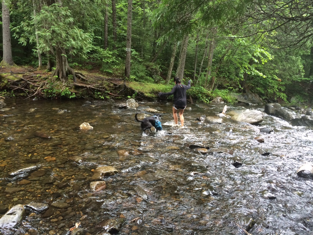
From the Gulf Hagas Parking Area, you have to cross Pleasant River (where you could be waist deep!). Make sure you’re prepared with the right gear. Once you cross the river, you can trace it up through the rocks, following the Rim Trail. There are multiple signs for short detours where you can see breathtaking views of waterfalls and the gulf. Note that the AT is marked by white blazes, and the Gulf Hagas trail is marked by blue blazes. Your first stop will be Screw Auger Falls about 1.1 miles in.
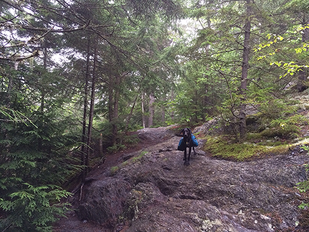
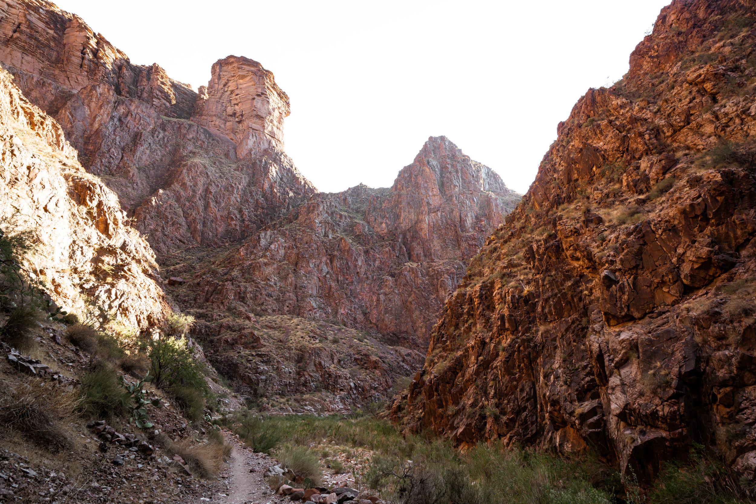
About 2.4 miles in, you will get great views of The Jaws. The canyon will get narrower here, and the rocks can be slippery so be careful. This is a great hike for Maine summers because a lot of it is shaded so it’s not too hot. There are a lot of opportunities for pictures, so be sure to take your time!
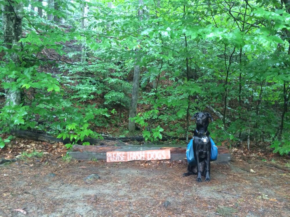
After Billings Falls, we decided to turn around and head back towards the parking area. We saw a few folks on our way back, a few of them in jeans and sneakers (!!!). This is a nice dog friendly hike although you might have to watch your pup on the slippery edges.
Gear Specs:
- 1L of water
- Chaco Sandals (Women’s)
- Nike running shorts
- Waffle base layer
- Small backpack
- Emergency Gear: Map & GPS, Headlamp, First-Aid Kit, Swiss Army Knife
- Hiking poles recommended for the river crossing
- Print out this map of the area: http://www.northmainewoods.org/images/pdf/gulf-hagas-map.pdf
