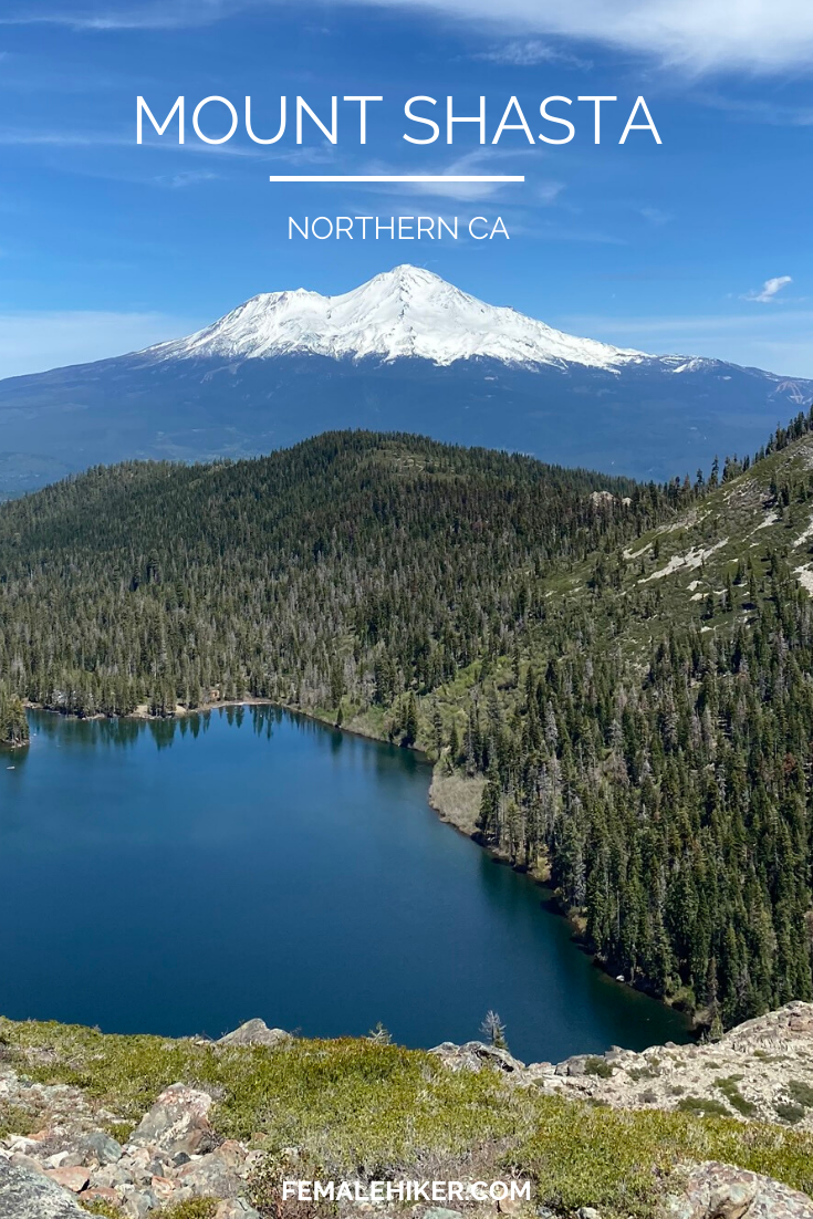
The Mount Shasta area is a huge outdoor playground 5 hours north of San Francisco. There are tons of dispersed camping and dog-friendly options for casual to advanced adventurers. Mt Shasta hiking can’t be beaten!
Mt Shasta Hiking
The Shasta Trinity National Forest is a 2.1 million acre forest with 5 different wilderness areas and hundreds of lakers. There are almost TOO many options here that it becomes overwhelming to plan. For our long weekend trip, we decided to center around Mount Shasta Town.
There is a lot of hiking near Mt Shasta and you can really get views of the peak itself at almost every hike above the treeline. In my opinion Mt Shasta hiking is super underrated and it should be higher up on everyone’s vacation list!
For this trip, the things we wanted to optimize for were basset hound-friendly hikes (i.e., under 8 miles), plenty of dispersed camping options, and hitting all the highlights. This was my first time to the area so I definitely wanted to see the “big hits.” Because of COVID-19, I was a little afraid that it would be crowded but we timed things perfectly and ended up having a really good social distancing trip.
Top Highlights from our Mt Shasta hiking trip:
- Car camping in any of the dispersed camping areas
- McCloud Falls
- Seven Lakes Basin via the Pacific Crest Trail
- Heart Lake
PS, all of these hikes are dog-friendly. See more of my posts on dog-friendly hikes in the Bay Area here.
WHAT TO PACK FOR MT SHASTA TRAILS
The most important part of planning a trip is thinking about how you want to spend the nights, and therefore how you want to pack. We personally decided to rent a campervan and go dispersed camping. The developed campgrounds were still mostly closed from COVID and I’m still wary of staying in hotels and Airbnb’s.
Your Campervan:
There are a few places in the Bay Area to rent campervan but I like Lost Campers because it’s the cheapest. Outdoorsy is also a great rental site that is like Airbnb for RV’s.
Hiking Boots / Shoes
Having the right shoes is super important. Whether you like lighter shoes like I do or a sturdier hiking boot, Hoka One One and Salomon are my go-to products. For Mt Shasta hiking trails, I think you could get away with Hoka One One’s if you have stronger feet/ankles.
Sun Protection
Sun protection is super important out in Mount Shasta, even if it feels like it’s chilly the sun can be brutal!
Water Storage
I personally prefer using an MSR Drom Bag because I’m fairly lazy to take water bottles out of my bag, but both options are great. Make sure to bring plenty of water on your trip
Gear for your Dog
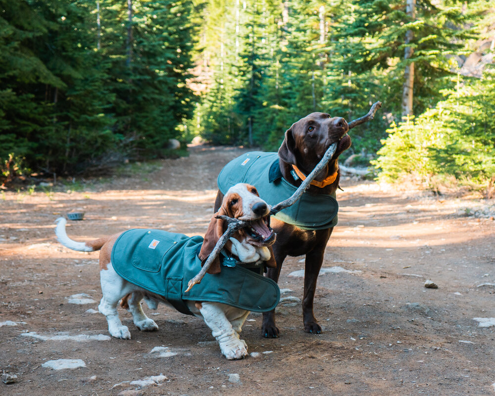
Finally don’t forget to keep your dog safe. Bring plenty of water for them and make sure they are well-hydrated.
Mt Shasta Hiking Itinerary
Here is our itinerary for hiking the Mt Shasta area. There is really a lot to do here, so take this dog-friendly Mt Shasta itinerary as just a suggestion!
Day 1 in Mount Shasta
Your first day will be spent mostly driving to Shasta. It took us 5 hours without traffic but with breaks for gas, food, and to let the dogs use the bathroom. We left really early in the morning so we would still have time to hike at night.
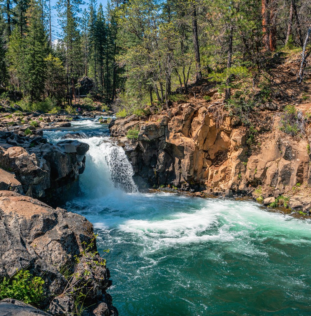
McCloud River Three Falls Hike
- Tldr: 5.5 mi round trip, flat hike to pretty waterfalls. This is hands-down the most popular Mt Shasta hiking trail because of it’s relative ease of effort
- One of the dog friendly hikes in Mount Shasta
- We started at the Lower Falls here
- The trail goes through 3 different waterfalls and passes through a campground as well. The trail is fairly easy and can be done in sneakers.
Night time in Mt Shasta
- We tried for Cattle Camp Campground earlier in the day but it was already full at 1PM (not surprised) If you do make it there, there is a fun swimming hole here
- Instead, we went to the many dispersed camping sites along the Everitt Memorial Highway as well as at Bunny Flat proper. You need to drive past the lower section of the Everett Memorial Highway leading up Mt. Shasta until you are past the 7 mile marker.
Day 2 in Mount Shasta
Our second day took us a little to the West of town, where we settled in at Gumboot Campground. We wanted to be here because there is some great Mt Shasta hiking nearby.
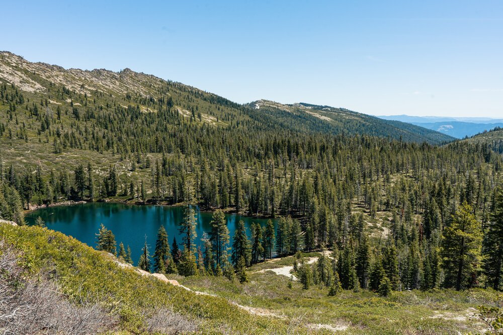
Seven Lakes via PCT
- Tldr: A very classic Mt Shasta hiking trail with stretched views of trees and ending at a lake
- Length: 7 miles round-trip
- Total elevation gain: 1,400 feet
- Trailhead: Gumboot Saddle https://goo.gl/maps/Zi8Qdem187iG3eiZ7 which is walkable from Gumboot Campground (adds 20 minutes to your hike)
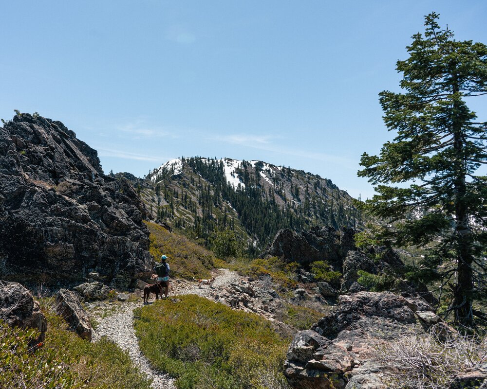
There are a lot of Mt Shasta hiking trails, but this was definitely a highlight of the trip. The Seven Lakes hike was SO gorgeous. It was really empty over a 3-day weekend which made the experience even better. When you first get on the trail, you pretty quickly get views of Mount Shasta and 360 view of the surrounding area.
There is a tricky part to the trail in order to make this a 6-mile hike (closer to 7 miles if you come from Gumboot Campground). When you hit the intersection with the Pacific Crest Trail, you’ll want to turn left to the PCT for about 100 feet before scrambling/going through an unofficial trail to take the shortcut.
We couldn’t really find an exact trail but I’ve provided my Suunto stats here to help you track it. We carried the basset a few times to help him through but overall he did fine! Otherwise, you will add about a mile to your trip (one way) via the Alltrails route here – some of it can still be covered in snow early in the season.
Night time in Mt Shasta
- We found a great spot in the morning at Gumboot Lake. It’s not really an official campsite as there is no fee and it’s first come first served.
- I would suggest going early to get the good spots before a stream crossing. If you need to cross the stream, I highly suggest a high clearance vehicle.
Day 3 in Mount Shasta
We woke up fairly early on Day 3 to get to Heart Lake. It’s one of the most popular Mt Shasta hiking trails after the McClouds Falls hike, so we wanted to get a head start to avoid the crowds.
Heart Lake
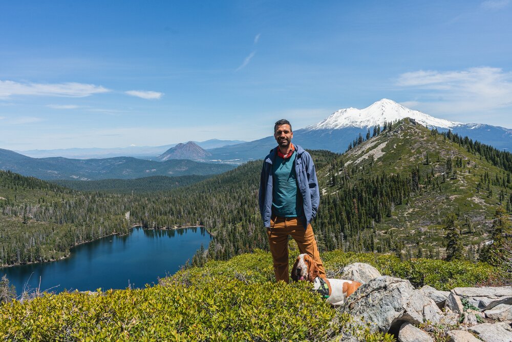
- Tldr: A very popular hiking trail because of the final view where you have a lake and Mt Shasta looking out behind
- Total Length: 3 miles
- Elevation Gain: 1,175 feet
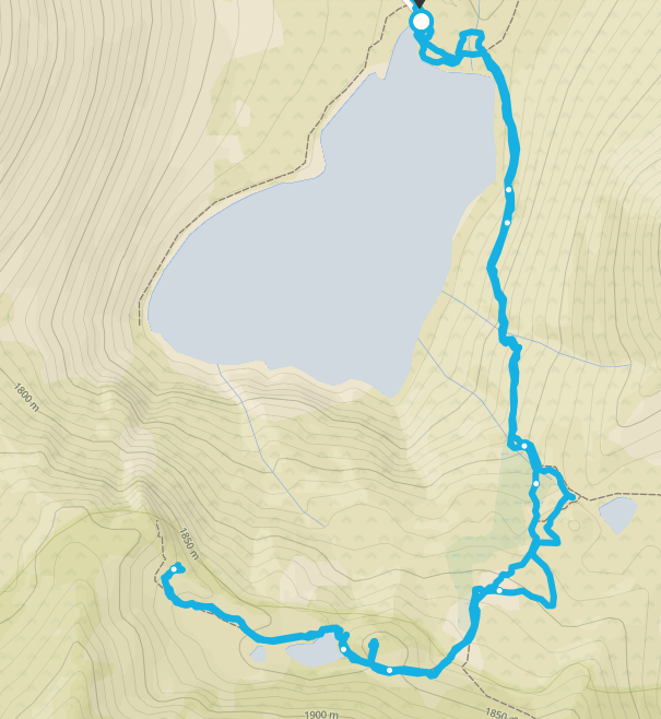
The trail to Heart Lake actually passes through Castle Lake first and then goes around and up to Heart Lake. The entire hike is only 3 miles but we had some trouble finding the trail to Heart Lake so it wound up being a little longer. The GPS locations for Heart Lake are 41.223399, -122.387116. See below for my map.
You can see we struggled to find the peak but essentially just point your compass towards the right direction and keep walking towards and over the ridge for 5 minutes, and you’ll find the trail. Downloading an offline map and using the GPS coordinates on your phone helps too!
Have you been to Mount Shasta before? What were your favorite things to do?
My site may contain affiliate marketing links (including the Amazon Services LLC Associates Program), which means I may be paid commission on sales of those products. These are products I fully use and endorse, and my content is not influenced by advertisers or affiliate partnerships.

One Comment
This is a great guide – well put together and lots of useful tips and advice! Looks like a stunning place to go hiking and I’m sure your little pups loved it too!