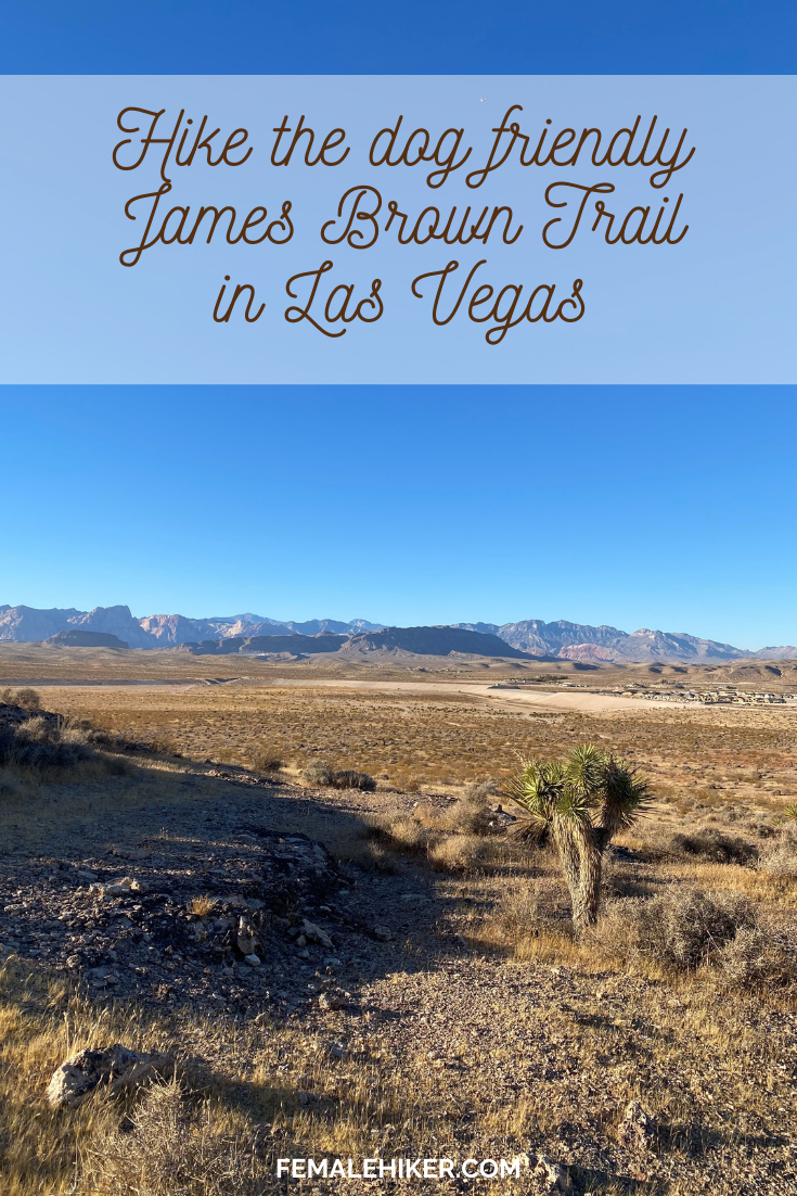
The James Brown Trail is a 3.6 mile, dog friendly local hike in Las Vegas that gives you 360 views of the surrounding area including the Strip!
James Brown Trail – Hiking Guide
Trail Distance: 3.6 miles
Elevation Gain: 500 ft.
Terrain Rating: Easy – loose rock
Hike Time: 1-1.5 hours
Dog Friendly: Yes
Recommended Seasons: All but Summer can be hot so start early
Trailhead: Southwest Vegas at S Fort Apache Rd and W Mountains Edge Pkwy here, about 25 minutes from the strip
WHY HIKE THE JAMES BROWN TRAIL
The James Brown Trail is easily one of my favorite neighborhood hikes in Las Vegas. This hike is probably better for locals. If you are just visiting Las Vegas, the best “bang for your buck” hikes are in Red Rock. Red Rock Canyon has a more unique landscape with the aptly named red rocks and is the best hike in Las Vegas – but it comes with more tourists, an entrance fee, and in general a little more hassle.
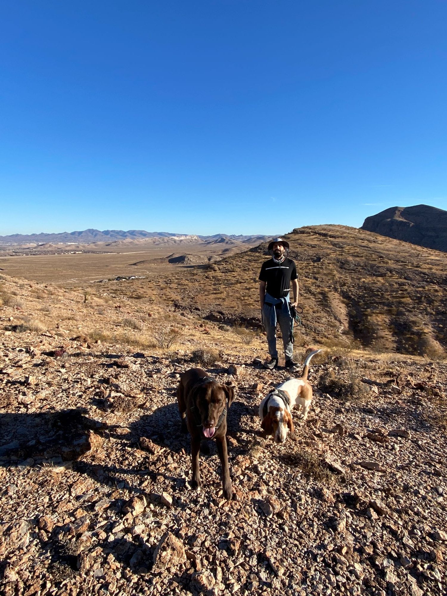
So, if you are a local and living in the Las Vegas area, that brings the James Brown Trail as the perfect quick and easy, but also a good workout, kind of hike. I love that the James Brown Trail is only 30 minutes from the center of Las Vegas and the fact that it is dog friendly. Whenever I have friends who want to bring dogs together and catch up on a hike, I bring them here.
The trail starts off pretty wide which is perfect for multiple dogs and it’s not a super popular trail so you won’t be hiking with crowds.
WHEN TO HIKE THE JAMES BROWN TRAIL
This trail can be hiked in all four seasons, but the best time to hike is in Fall, Winter, or Spring when it is not too hot. There is really no shade on the trail and as you know Vegas summers can get very hot. If you want to hike in the summer, try getting there before 10AM or closer to sunset so it’s not too hot yet.
James Brown TRAIL – TRAIL NOTES
The hike starts off at a dirt parking lot. It’s right off S Fort Apache road and there isn’t a sign pointing you to the parking lot, but check the Google GPS coordinate and you’ll see the right spot. The trail starts off fairly flat and wide as you head up to the hill and viewpoint.
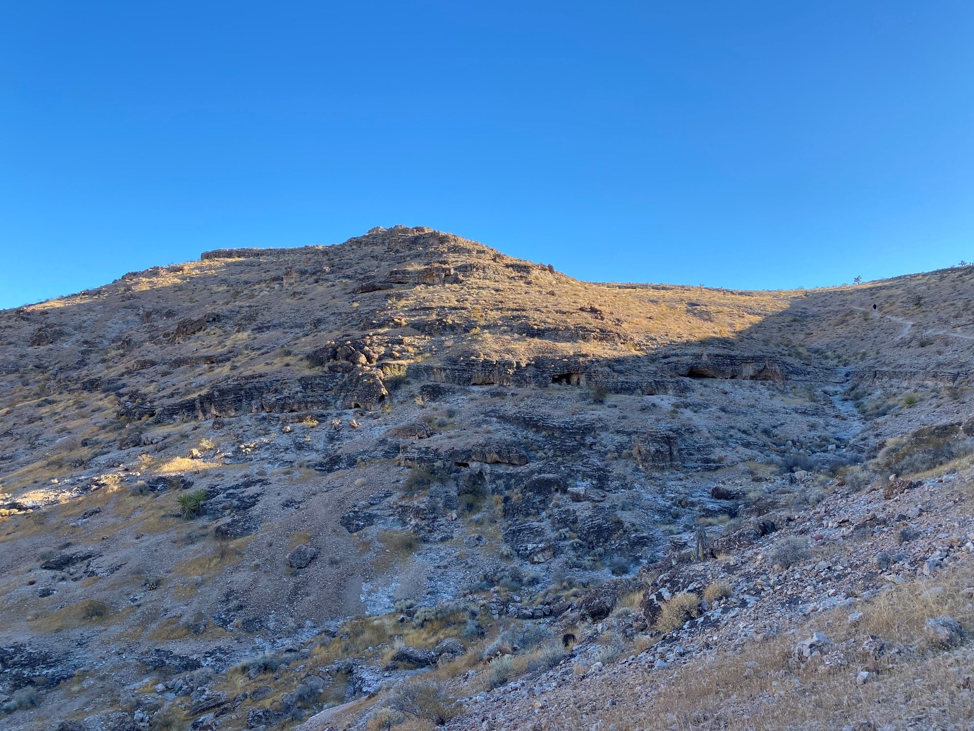
About 1 mile in, you will want to make a sharp left. There are a few adjacent and parallel trails here, but I usually stay on the main trail. Once you turn left, head towards the hill. The trail gets a little more narrow as you start to go up the 500 ft in the elevation, but it is never too difficult.
After you get to the top of the hill, enjoy the 360 views! You will usually get a nice breeze up here too which is super nice.
To head back to your car, turn around and follow the same way that you came. The way down the hill can be a *little* slippery because of the loose rock, so watch your feet as well.
Recommended Gear
Have you hiked the James Brown Trail before? What did you think?
My site may contain affiliate marketing links (including the Amazon Services LLC Associates Program), which means I may be paid commission on sales of those products. These are products I fully use and endorse, and my content is not influenced by advertisers or affiliate partnerships.



One Comment