Trail Distance: 10 miles
Elevation Gain: 2500′
Terrain Rating: Moderate
Mud Scale: 5 out of 10
Hike In: 11:45AM
Hike Out: 4PM
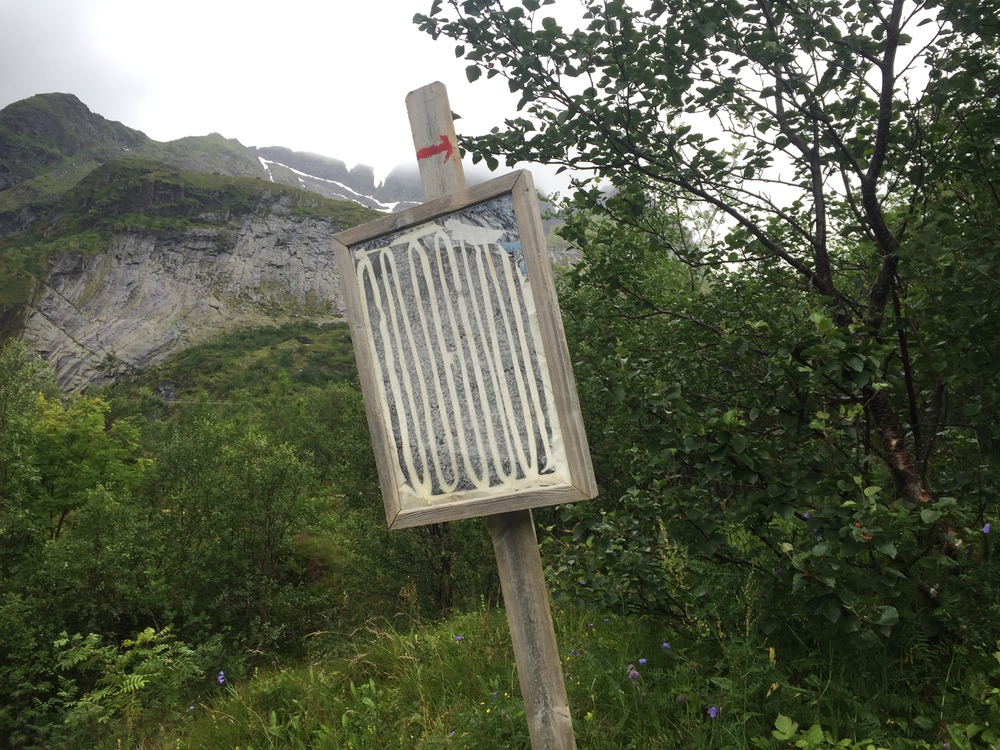
Trailhead: in the town of Sørvågen off E10, look for a restaurant called Holmen that has a man statue on top of the sign. Coming south, the sign for Holmen points left. You want to go the opposite direction, right. Follow the road for a few hundred feet and turn right. You will then reach a parking lot. From the lot, you will enter a gravel paved path with a worn out white sign that says “Munkan” in red letters.
Welcome to Norway! The hike to Munkan was my first introduction to Arctic Circle hiking. I had no idea how muddy it would be in August. The weather wavered between cloudy and rainy. For the rest of my Norway posts, you will see a Mud Scale, 1 being not very muddy and 10 being dangerously muddy (landslides probable). The water in Lofoten is completely drinkable without any filters or tabs. I only carried a 1L bottle and never had issues with water. You might even see some signs telling you that the water is drinkable!
The trail starts off relatively easy. You follow a gravel path for a little less than a mile. Follow the red markings! Once you pass 2 small huts, look out for a sign/red arrow that directs you right. We missed this sign the first time around and continued straight which is also a well marked trail! (To where? We have no idea). The thing about hiking in Lofoten is that it’s still completely undeveloped. There is little to no trail maintenance, which means there are often many different trails to the same destination. My advice would be to follow the most well worn trail to avoid hurting the fragile plants, but those trails are usually the most muddy.
Once you turn right at the first sign, you will get begin a small ascent. Soon you will see some chains on your right hand side to help you ascend (and later descend!). After the chains, you cut inland towards the Munkebu Hut. There are sections of flat trails, small ascents, and extremely muddy areas.
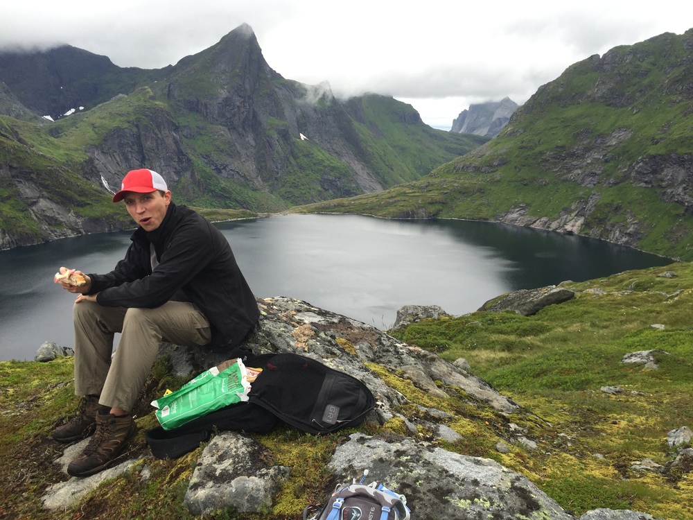
When you start a bigger descent, you will see the Munkebu Hut off in the distance. This is about 1.5 hours and 3 miles in, and you will be 20 minutes away from the Hut. We took our time at the Hut to eat some lunch and refill water.
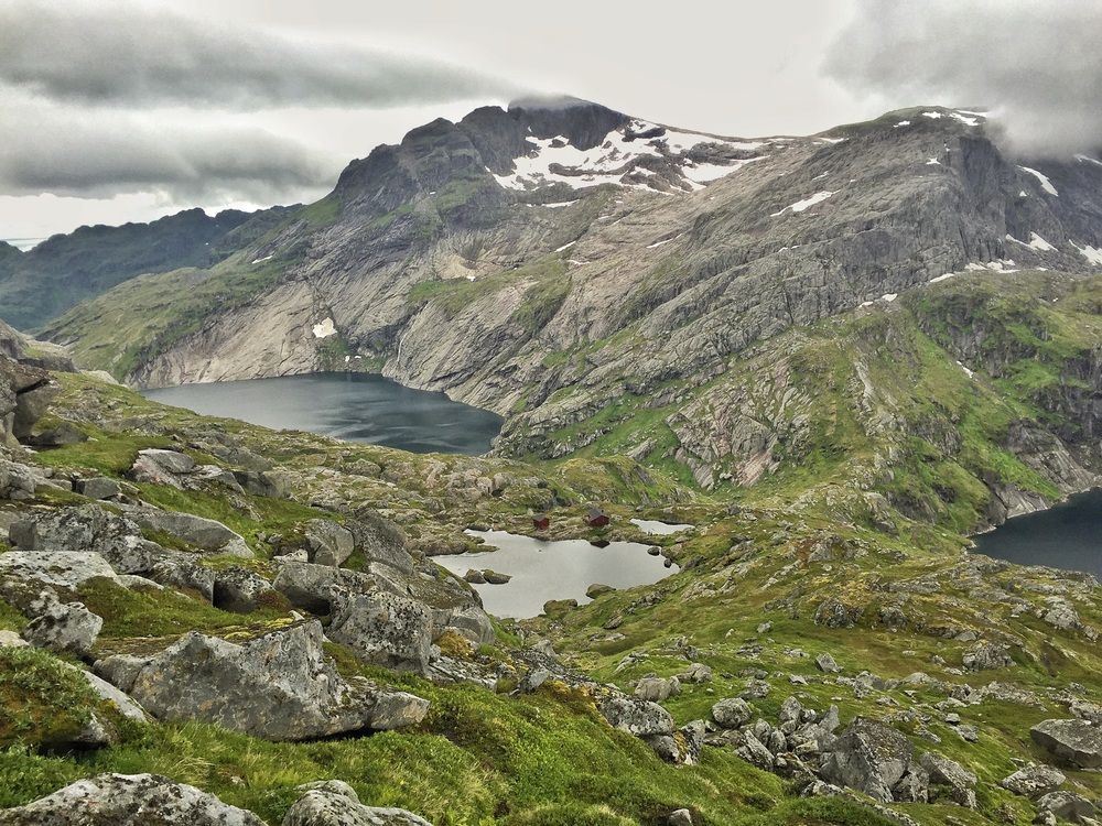
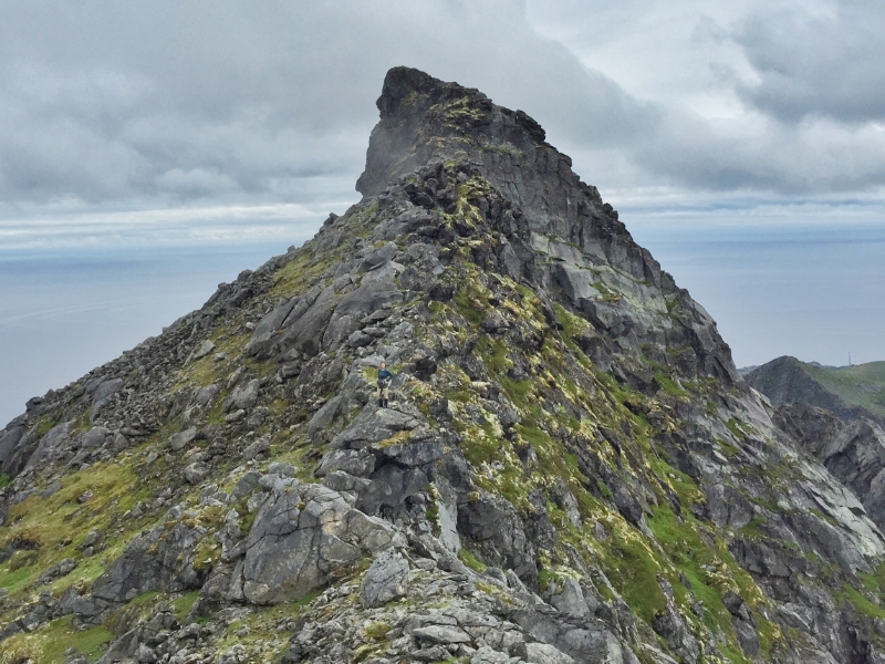
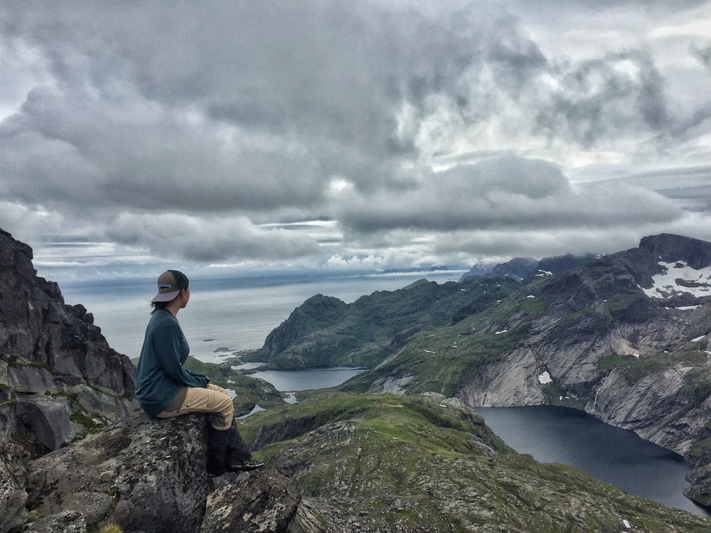
After the Hut, you begin a steep and sometimes windy ascent up to the summit of Munkan. The ascent took us 1 hour. On the way, we passed sections of snow. You will see lots of cairns at the summit, but the real fun is the opposite facing rock formation. There is a small trail following the outside of the rock formation. There is some fun scrambling and good picture opportunities here. We spent about 20 minutes taking photos and playing on the rocks before turning back.
